Real Utah, street by street
Explore Utah is built from the same public information that cities and the state use. The streets, buildings and hills are where they really are, at their real size.
From the map
We drew these ourselves from the public information the game is built on. They're renders, not photos and not screenshots from Roblox, so the game itself looks a little different.
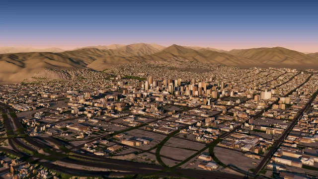
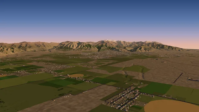
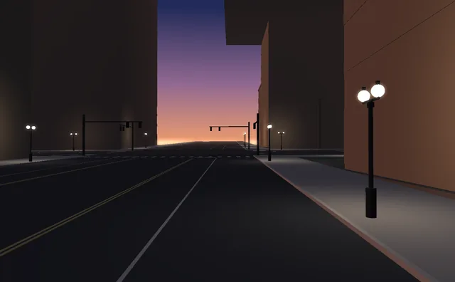
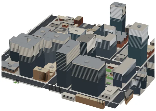
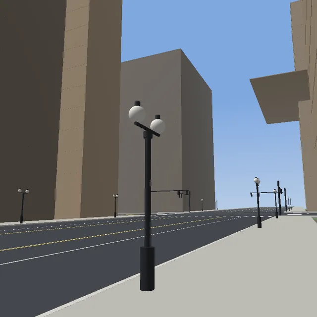
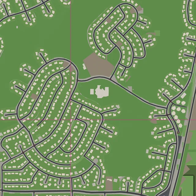
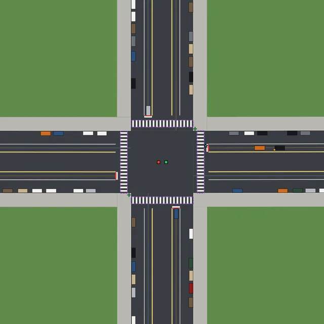
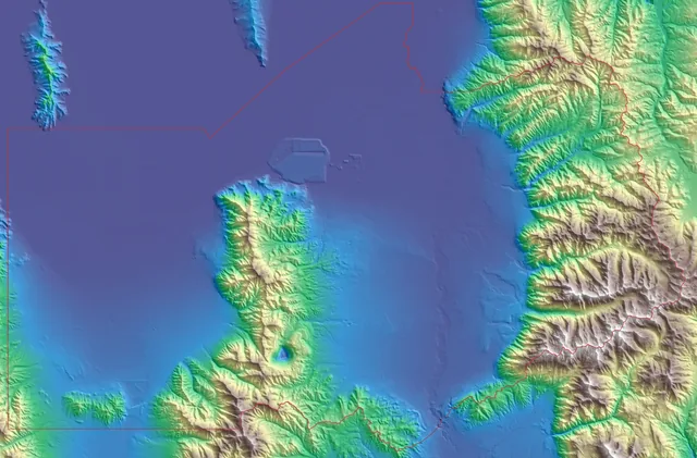
Sources: UGRC (SGID), CC BY 4.0, data modified; USGS 3DEP; © OpenStreetMap contributors (ODbL); Microsoft building footprints (ODbL).
Shows on the plaza
The stage on the Gallivan Center plaza runs shows from our list of real Utah venues and events. A sign by the stage shows the next show and counts down to it, and everyone in the game sees the same show at the same time.
- Posted aheadShows are listed in the game's search, grouped by day, so friends can plan to go together.
- Set up by our teamOur team posts every show. Players can't add events.
- Local artists, laterWe hope to invite Utah musicians to play. How to take part will be posted here.
What we're working on
Not in the game yet. We're working on these, with no dates promised.
- TRAX, FrontRunner and bus stops. Tracks, stations and trains on a timetable.
- Trees. Real trees where they stand.
- Building looks. Real shapes and facades: brick, stone, glass and window rows.
- Landmarks. Well-known Salt Lake buildings modeled in more detail.
Model a piece of Utah
If you 3D model a real Utah place, like a building, a park or a plaza, we can bring it into the game so everyone can visit it. It stands at its real address, at its real size, in place of the plain building the game draws there.
How to send a model
Sign in with your Print3D Studios account, add the place's name and street address, and choose your STL or 3MF file. Your browser gets it ready for the game, so you can check which way its front faces and how big it will be. Then send it for review.
A real place, played safely
Explore Utah is a map of real Utah made for kids and families to explore together. Here is what it does, and doesn't do, with your child's information.
- Players never give their addressThe game never asks where a player lives, and players can't pin or label a home. Addresses in the game belong to businesses, venues and events, added by our team.
- Searches aren't keptWhen a player searches an address, it's used only to find the spot. It isn't saved, logged or shown to anyone else.
- Text is filteredNames, descriptions and model credits players read in the game pass through Roblox's text filter first, and so does what players type in a problem report.
- No chatting with AIThere are no AI characters or chatbots in the game for players to talk to.
- Data you can deleteA problem report keeps the player's Roblox user ID, what they typed and drew, and where in the game they stood, and only our team sees it. When a Roblox account is deleted, we delete its reports and saved progress too. Models sent on our upload page can be taken back or deleted there at any time.
Questions
When can I play?
Explore Utah is in the works. This page will link to it the day it opens on Roblox.
Can parents play too?
Yes. Explore Utah is made for the whole family. A parent can make their own free Roblox account, add their child on Roblox and join the same server to explore, find events and catch a show together. Roblox's parental controls, in your child's Roblox account settings, let you choose who they can chat and play with.
Is it about real places?
Yes, as true to life as we can make it. The game covers all of Salt Lake County and the Tooele Valley today, with the rest of Utah to follow, at real size: real streets, buildings on their real footprints and the real shape of the ground. Businesses, venues and events are added by our team with their real addresses, and the buildings the game draws carry no business names or logos.
Where does the map come from?
From free public information: Utah's state map library (UGRC), the U.S. Geological Survey's elevation surveys, OpenStreetMap and Microsoft's building outlines. We download it and build the map ourselves; the game doesn't call any outside map service, and we don't use pictures from Google or other map apps.
Something in the game doesn't match real life. What can I do?
Use "Report a problem" in the game: right-click the spot (or press the REPORT button), pick what kind of problem it is and describe it. You can draw on the world and measure between two points to show us. Please don't type your address, phone number or any personal information.
Can my band play a show?
We hope to invite Utah musicians to play shows in the game. Details will be posted here.
Can I add a building or place I modeled?
Yes. If you 3D model a real public place in downtown Salt Lake City, like a building, a park or a plaza, you can send it on our upload page: sign in with your Print3D Studios account, add the place's street address and upload an STL or 3MF file. Our team reviews every model before it appears in the game, and a small sign in front credits the person who made it. Send only your own work, with no logos or brand names, and never a home.
Who makes it?
P3D Games, part of Print3D Studios, the team behind Creator Lab.